About North Kelvin
North Kelvin in Glasgow’s West End lies mainly between the River Kelvin and the Forth and Clyde Canal. The bulk of the community council area falls within the Hillhead ward, with areas to the west of Queen Margaret Drive and north of Maryhill Road in the Maryhill and Canal wards respectively.
Local attractions include a busy row of shops and cafes on Queen Margaret Drive, two churches of very different architectural interest (1 and 2 on the map below), and Alexander Greek Thomson’s Sixty Steps (3). The beautiful Kelvin Walkway passes through the area alongside the river, and there is an excellent walkway/cyclepath along the canal.
See also the range of maps on our Maps page, or try our interactive map below!
- St Charles’ Church
- Mackintosh Queen’s Cross
- The Sixty Steps
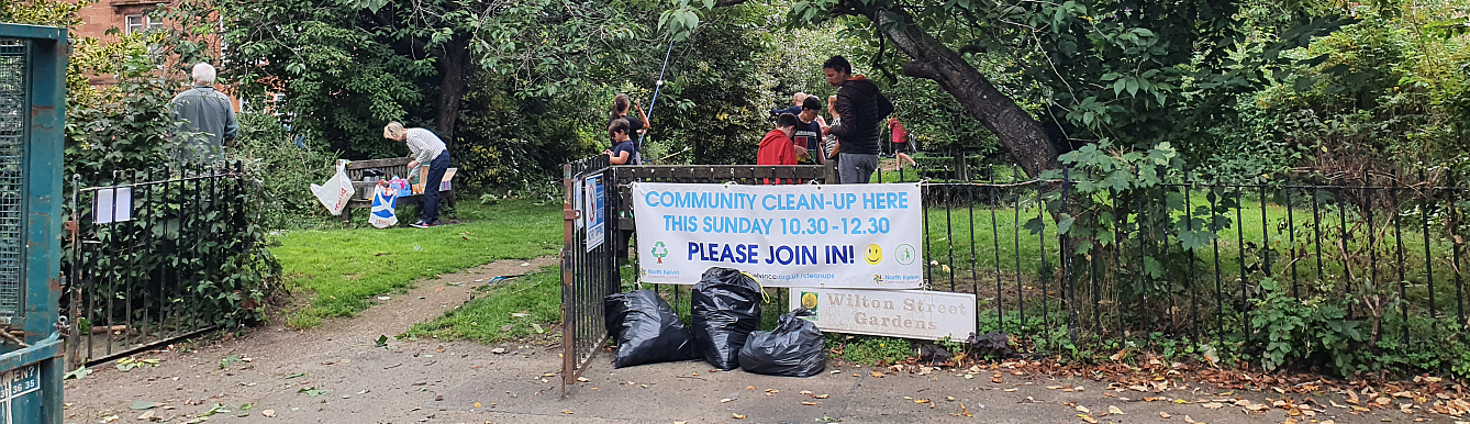
- North Kelvin Meadow and the Children’s Wood
- Firhill Stadium, home to Partick Thistle
- Firhill Basin for watersports and nature
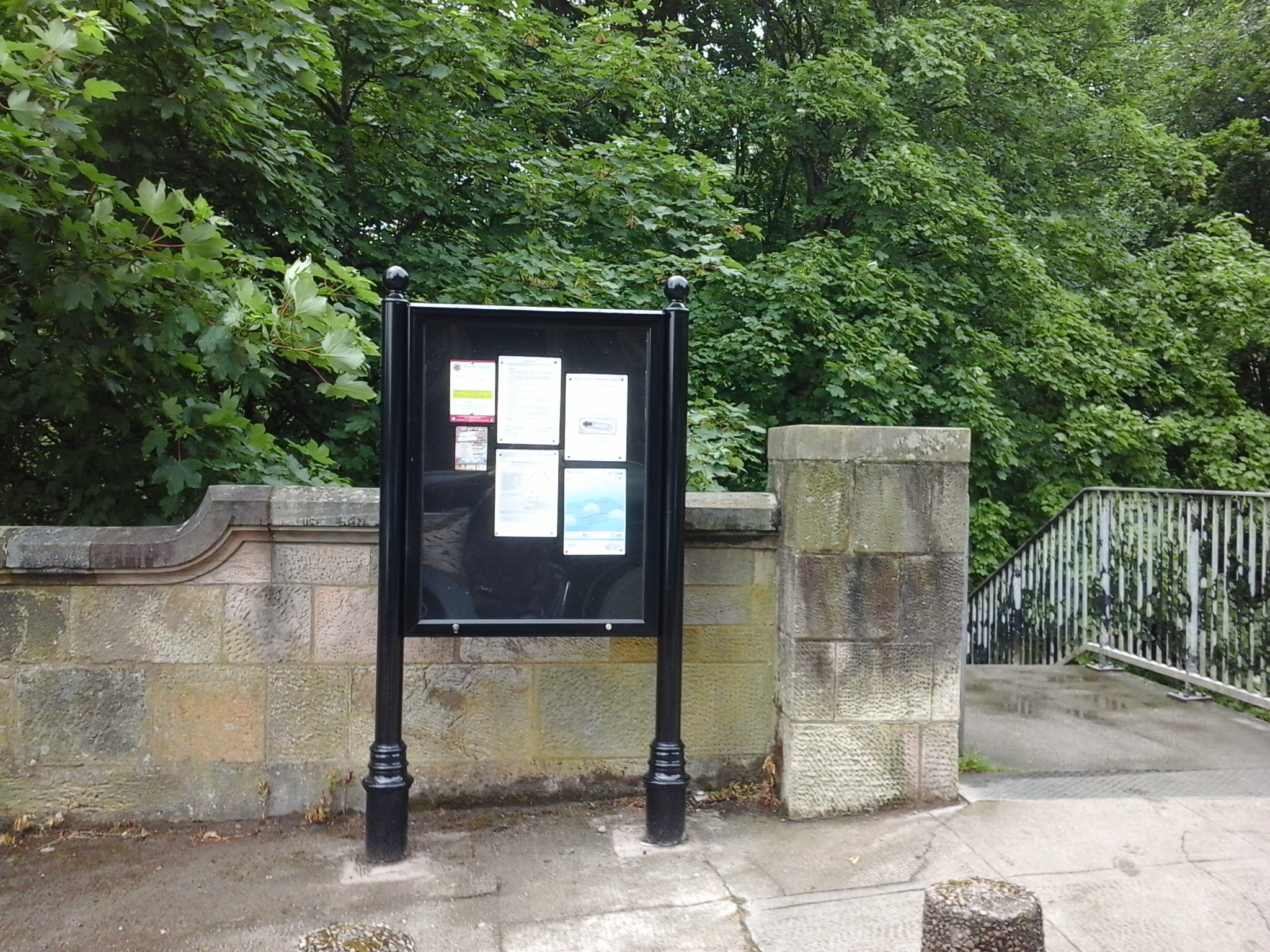
- NKCC Noticeboard opposite Kelvinbridge Parish Church, Belmont St
- Ruchill Park flagpole, for views across the city.
There’s more information on the area on the Wikipedia North Kelvinside page.
You can find out what Council facilities and services are available by using the City Council mapping tool.
If you’re interested in the history of your address, try Glasgow West End addresses.
Take a tour
Maryhill Burgh Halls have produced an excellent guide to the area and its surroundings: South Maryhill Walking Trail. Pick up a printed copy at the Halls or download the app or pdf (also available in large A4 format). It’s free and packed with information.
Or you could try the ICE Kelvin Bridges Trail (PDF), the first half of which falls within the North Kelvin area.
Or join us on one of our health walks!


Is North Kelvinside Council involved in protecting the sports field behind Kirklee Road and on Bellshaugh Road
for the benefit of Clevedon School. Children and the local community.
Kelvindale Academy are again trying to aquire it
Who do I contact to help local residents keep this land for the use of local people
Sorry, this isn’t in our area – think it’s probably Dowanhill, Hyndland and Kelvinside Community Council. Maybe try their facebook page?
Hello, I live on Hathaway Street, G20 8TD. Does this come under the North Kelvin Community Council or is it another council area?
Sheila
Hi Sheila
No – your Community Council is Central Maryhill.
Sorry for the delayed reply!